3D Scanning & Virtual Tour
Services in South Florida
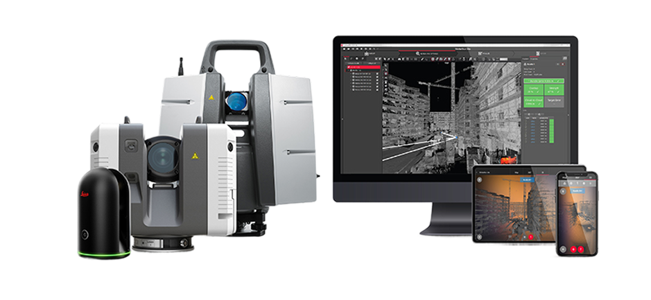
From our base in Boca Raton we deliver immersive 3D 360° tours, 4K stills, 2D floor plans, CAD, BIM/Revit-ready files, E57 point clouds, and Street View publishing across Palm Beach, Broward, and Miami-Dade.

3D Tour and Property Scanning Deliverables
Need examples first? Explore Our Work to see complete digital twin projects, then book a 3D scan when you are ready.
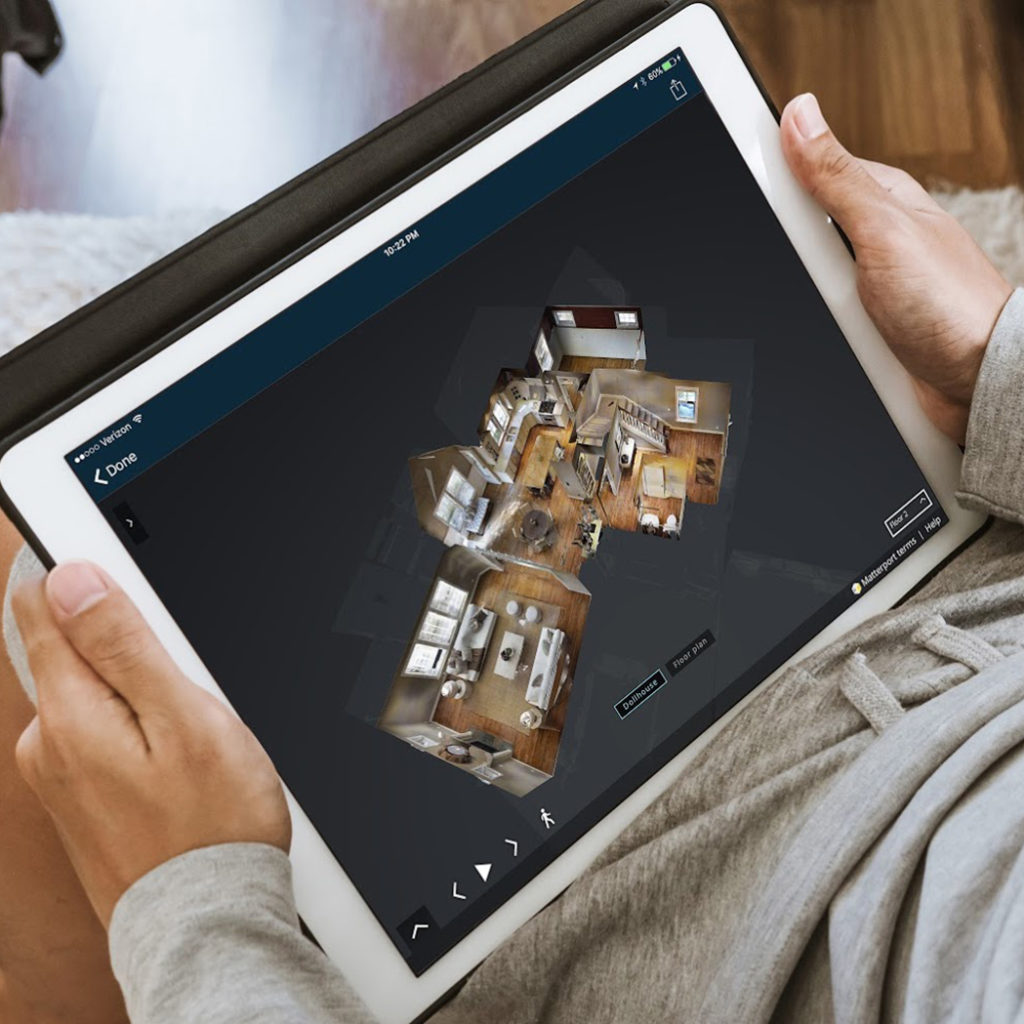

3D 360° Virtual Tours
Full immersive 3D 360° walkthroughs that let clients, teams, and stakeholders navigate your property remotely.
 Professional-grade 3D tour delivery
- Web and mobile ready
- Easy sharing and embedding
- Fast turnaround


4K Images
High-resolution 4K still captures extracted from your digital twin for listings, brochures, and project documentation.
- Print-ready quality
- Marketing friendly output
- Indoor/outdoor coverage
- Delivered with tour package
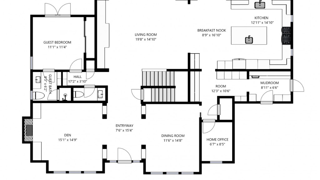

Digital Floor Plans (2D)
Clean and accurate 2D floor plans generated from scan data for design, planning, and client presentations.
- Dimension-ready layouts
- Room labels included
- PDF and image exports
- Quick revision support

2D CAD File
Structured 2D CAD deliverables for drafting workflows, construction documentation, and facility planning.
- CAD-friendly format
- Scaled geometry
- Layer-ready structure
- Ready for edits

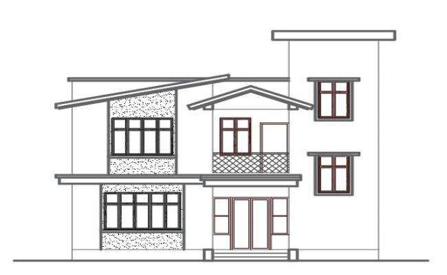
BIM File for 3D Revit Model
BIM-ready outputs that support Revit modeling workflows for architecture, engineering, and construction teams.
- Revit-compatible workflow
- AEC model support
- As-built ready
- Project coordination ready

Xactimate 3D
Xactimate-compatible deliverables to streamline restoration and insurance estimating workflows.
- Claims-ready data
- Faster estimate prep
- Detail-rich measurements
- Restoration focused output
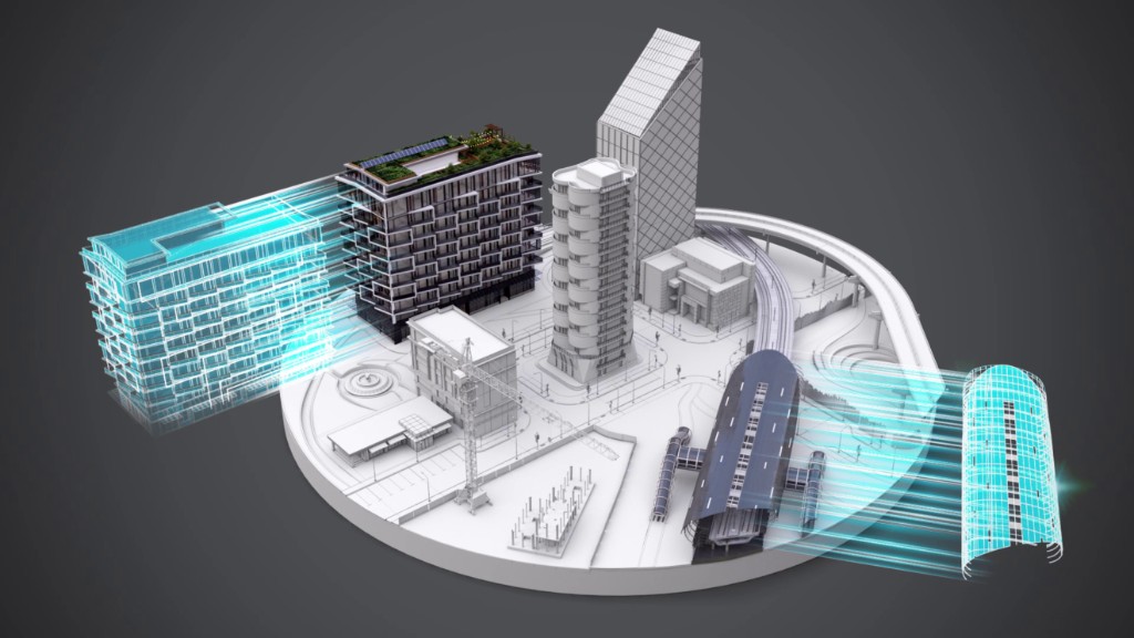
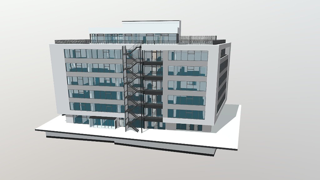
3D Data Assets for AEC
Deliverable-ready 3D data assets to support design validation, construction planning, and facility workflows.
- AEC-ready formats
- Geometry-driven workflows
- Coordination support
- Digital twin integration
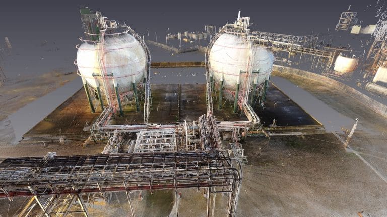
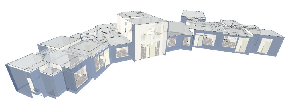
E57 Point Cloud File
Exported E57 point cloud data for downstream surveying, modeling, and verification workflows.
- Industry-standard format
- Dense spatial data
- Compatible with major tools
- Accurate as-built context
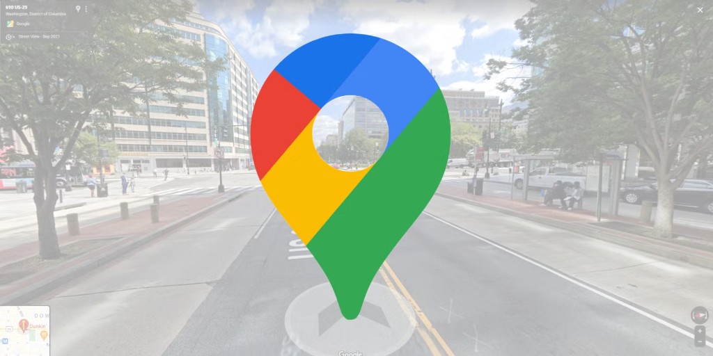
Publishing to Sites & Google Street View
Publishing of your digital twin / 3D 360° tour to websites, listing portals, and Google Street View.
- Website embed support
- Google Street View workflow
- Shareable public links
- Distribution setup help
Frequently Asked Questions About 3D Tour Services
How fast can you deliver a 3D 360 virtual tour?
Most projects are delivered within 48 hours after on-site scanning, depending on property size and deliverables selected.
Can you provide CAD, BIM, and point cloud files from one scan?
Yes. We can produce 2D floor plans, 2D CAD files, BIM/Revit-ready outputs, and E57 point cloud files from the same capture workflow.
Do you support insurance and restoration documentation?
Yes. Our Xactimate 3D-compatible deliverables help support estimating and documentation for restoration teams and adjusters.
Can you publish my digital twin to Google Street View?
Yes. We help publish and distribute your 3D tour assets to websites, listings, and Google Street View when applicable.
Simple. Fast. Done.
Book a Scan
Fill out our form or call us to schedule a time that works for you.
We Visit & Scan
Our expert team visits your property and captures it with precision scan data.
We Process It
We process the footage into a beautiful interactive 3D 360° tour.
You Share It
You receive your portal login details and tour links, ready to be shared.